Themed Photo Gallery and Information: Statesboro, Georgia
Background
Statesboro is the largest city and county seat of Bulloch County, Georgia, United States, located in the southeastern part of the state.
Statesboro is home to the flagship campus of Georgia Southern University and is part of the Savannah–Hinesville–Statesboro Combined Statistical Area. As of 2018, the Statesboro Micropolitan Statistical Area, which consists of Bulloch County, had an estimated population of 74,722. The city had an estimated 2018 population of 31,667. Statesboro is the largest Micropolitan Statistical Area in Georgia. It is the largest city in the Magnolia Midlands Region.
The city was chartered in 1803, starting as a small trading community providing basic essentials for surrounding cotton plantations. This drove the economy throughout the 19th century, both before and after the U.S. Civil War.
In 1906, Statesboro and area leaders joined together to bid for and win the First District A&M School, a land grant college that eventually developed into Georgia Southern University.
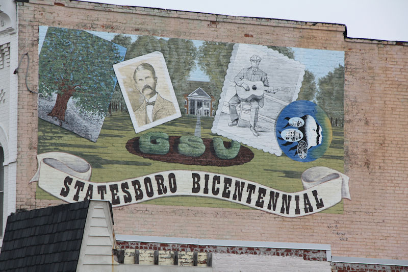
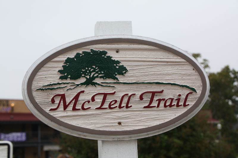
Statesboro inspired the blues song “Statesboro Blues”, written by Blind Willie McTell in the 1920s, and covered in a well-known version by the Allman Brothers Band.
In 2017, Statesboro was selected in the top three of the national America’s Best Communities competition and was named one of nine Georgia “live, work, play” cities by the Georgia Municipal Association.
In 1801, George Sibbald of Augusta donated a 9,301-acre (37.64 km2) tract for a centrally located county seat for the growing agricultural community of Bulloch County. The area was developed by white planters largely for cotton plantations that were worked by black slave labor. In December 1803, the Georgia legislature created the town of Statesborough. The community most likely was named after the notion of states’ rights, an issue central in the 1800 United States presidential election. In 1866 the state legislature granted a permanent charter to the city, changing the spelling of its name to the present “Statesboro.”
During the Civil War and General William T. Sherman’s famous March to the Sea through Georgia, a Union officer asked a saloon proprietor for directions to Statesboro. The proprietor replied, “You are standing in the middle of town,” indicating its small size. The soldiers destroyed the courthouse, a log structure that doubled as a barn when court was not in session. After the Civil War, the small town began to grow, and Statesboro has developed as a major town in southeastern Georgia. Many freedmen stayed in the area, working on plantations as sharecroppers and tenant farmers.
Following the Reconstruction era, racial violence of whites against blacks increased. In the era from 1880 to 1930, Georgia had the highest rate of lynchings of any state in the nation. Among them were three black men who were lynched and burned to death on August 16, 1904, near Statesboro. A fourth man was lynched later in the month in Bulloch County. After a white farm family was killed, the white community spread unfounded rumors of black clergy urging blacks to violence against whites, and more than twelve black men were arrested in this case.
Paul Reed and Will Cato were convicted of the Hodge family murders by an all-white jury and sentenced to death on August 16, 1904, but they were abducted that day from the courthouse by a lynch mob and brutally burned to death. Handy Bell, another suspect, was lynched and burned by a mob that night. White violence against blacks did not end; both men and women were physically attacked on the streets. Area newspaper coverage of the trial and lynching had been sensationalized, arousing anger, and two more black men were lynched in August 1904: Sebastian McBride in Portal, another town in Bulloch County, and A.L. Scott in Wilcox County.
To escape oppression and violence, many African Americans left Statesboro and Bulloch County altogether, causing local businessmen to worry about labor shortages in the cotton and turpentine industries. African Americans made a Great Migration from the rural South to northern cities in the first half of the 20th century. Local effects can be seen in the drop in Statesboro population growth from 1910 to 1930 on the census tables below in the “Demographics” section.
Around the turn of the century, new businesses in Statesboro included stores and banks built along the town’s four major streets, each named Main. In 1908, Statesboro led the world in sales of long-staple Sea Island Cotton, a specialty of the Low Country.
Mechanization of agriculture decreased the need for some farm labor. After the boll weevil destroyed the cotton crop in the 1930s, farmers shifted to tobacco. The insect had invaded the South from the west, disrupting cotton cultivation throughout the region. By 1953, however, more than 20 million pounds of tobacco passed through warehouses in Statesboro, then the largest market of the “Bright Tobacco Belt” spanning Georgia and Florida.
The 1906 First District Agricultural & Mechanical School at Statesboro was developed as a land grant college, initiated by federal legislation to support education. Its mission shifted in the 1920s to teacher training; and in 1924 it was renamed as the Georgia Normal School. With expansion of the curriculum to a 4-year program, it was renamed as the South Georgia Teachers College in 1929. Other name changes were to Georgia Teachers College in 1939, and Georgia Southern College in 1959. After this period, it became racially integrated and with development of graduate programs and research in numerous fields, since 1990 it has had university status as Georgia Southern University.
Source: Wikipedia
Blind Willie McTell
See Thompson, GA entry.
Georgia Historical Markers
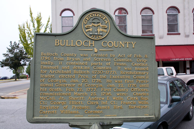
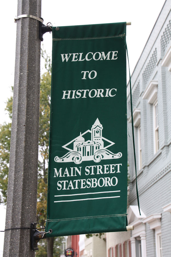
Photo Gallery
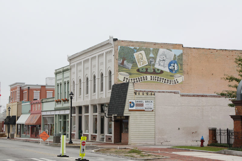
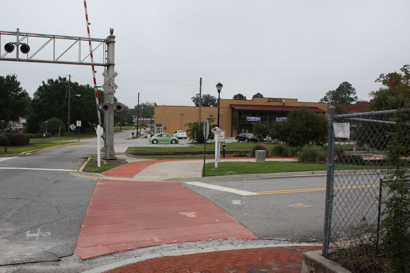
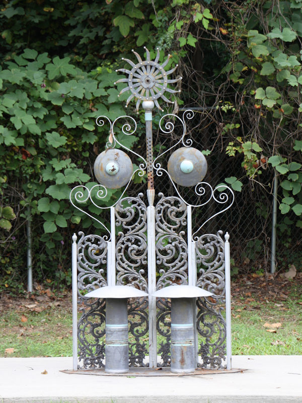
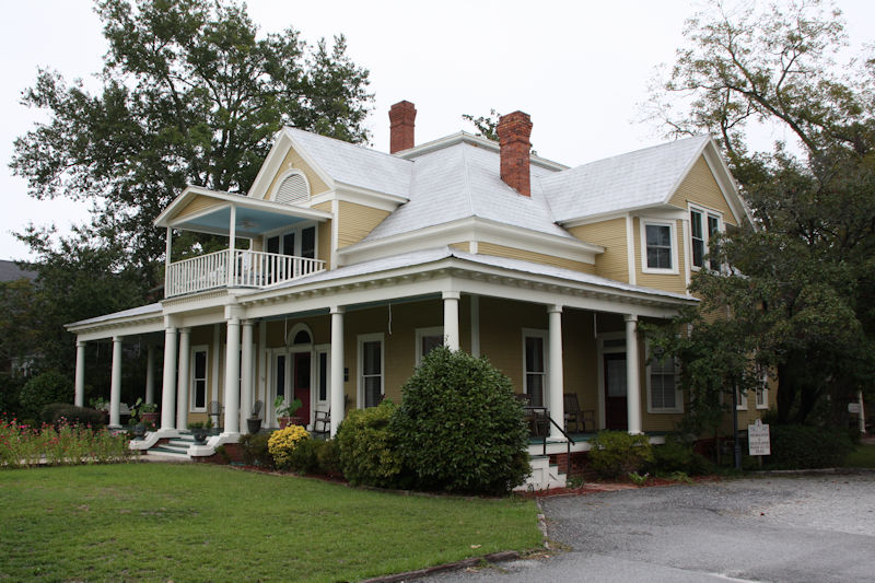
Historic District E. Main Street.

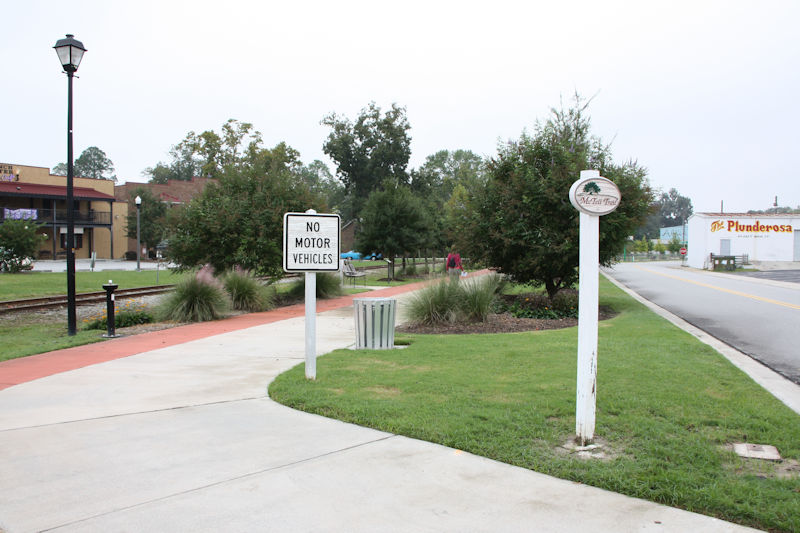
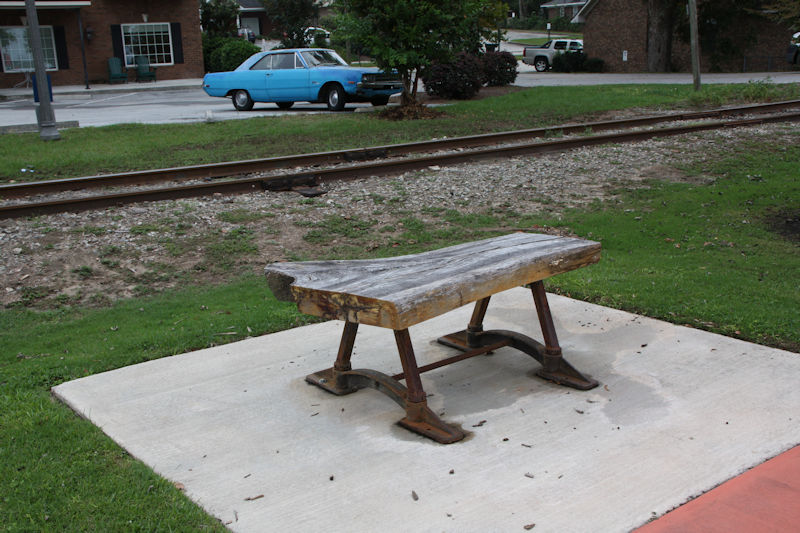
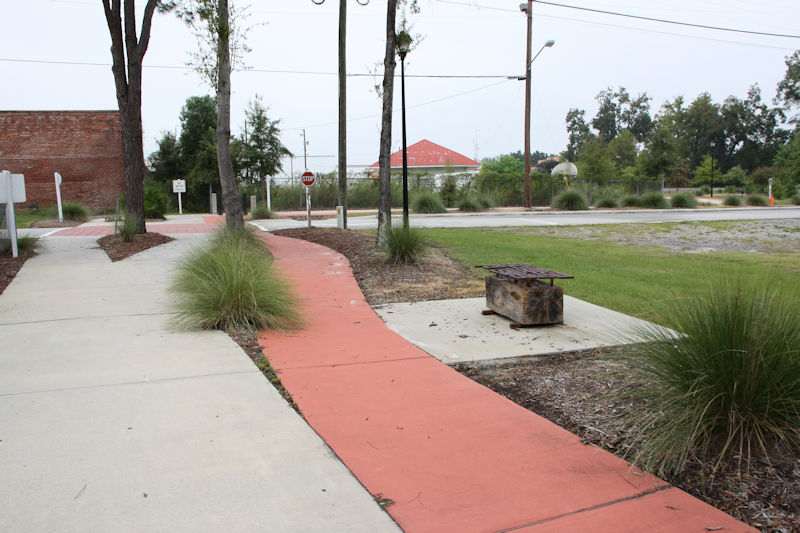
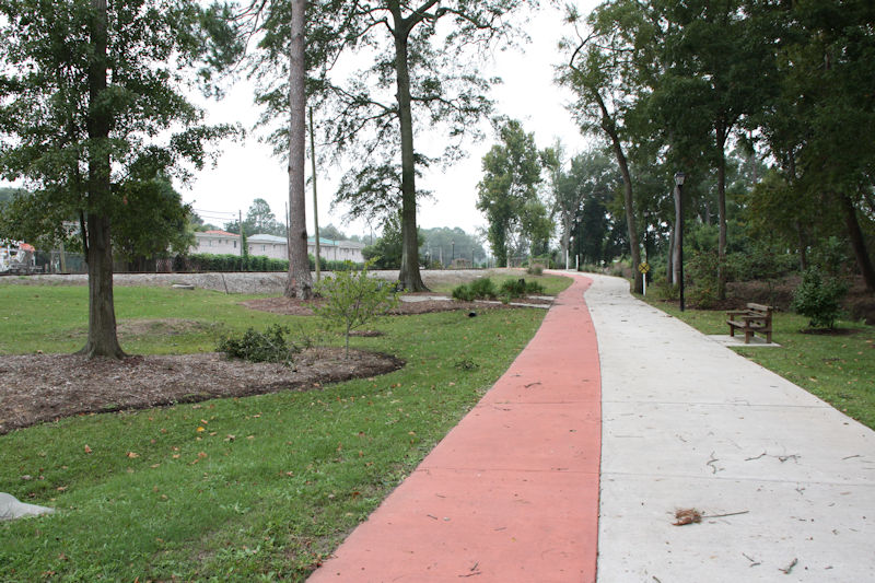
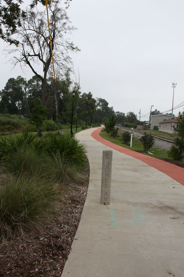
The trail officially begins at Fair Road’s Memorial Park and ends at Triangle Park in the heart of downtown Statesboro. We walked it in reverse starting in downtown Statesboro ending in Fair Road’s Memorial Park (hence the order of the photos). The trail consists of 7,415 square yards of architecturally designed asphalt, six varieties of trees, custom-designed benches by the university’s art students, cobra lighting throughout and more.
Whilst Google Maps shows the trail a better interactive map (shown as part of a running map) can be seen here.


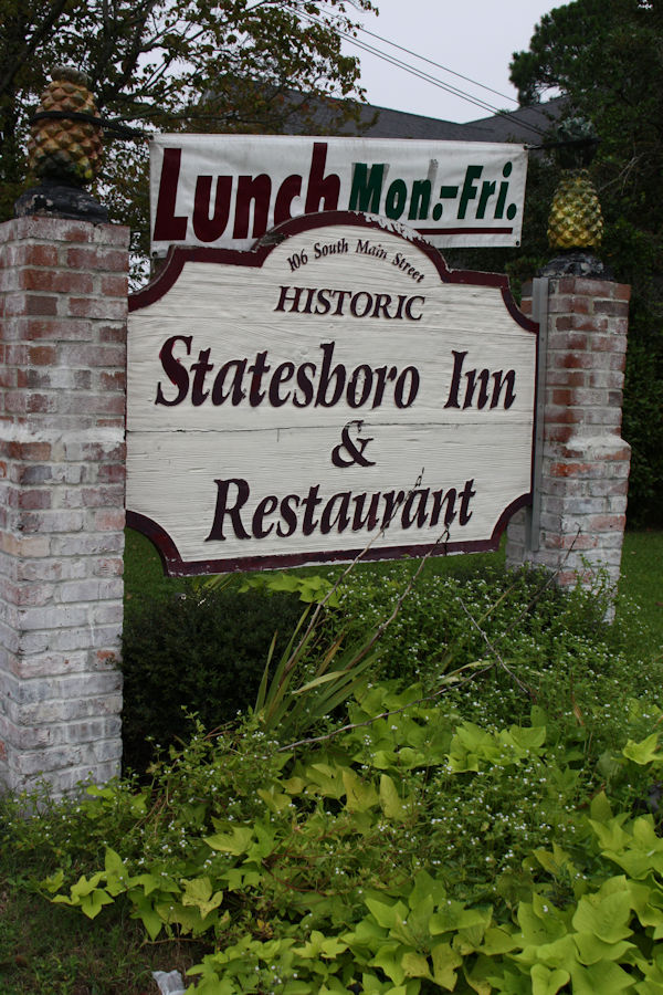

Hattie Holloway Cottage (located directly behind Statesboro Inn). It is said that Blind Willie McTell wrote “Statesboro Blues” here.
For those that don’t know Statesboro Blues check it out on YouTube here.